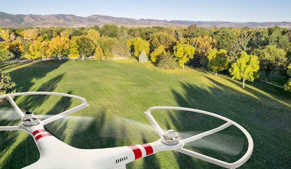
DRONE SERVICES
Aerial surveys for contaminated sites
With long-shot, high-quality footage, we can survey large and/or inhospitable areas to analyse details of contamination sites.
Why Drones?
With high-quality aerial video and photography, we can survey large and/or inhospitable areas to analyse how far a contamination have spread.
The footage can be reviewed repeatedly, by many different specialists, reducing the time spent on site and minimazing the disturbance of natural life.
Effective, resourceful images for:
- Site surveys
- Timelapse footage
- Before and After shots
- Close-up of troublesome areas
- Access to inhospitable areas
Eco-friendly
Minimal impact on the environment
Low natural life disturbance
Powered by battery charged by solar panels
Quick and Easy
Access to inhospital sites
Remote operation
Footage can be reviewed repeatedly,
by many different specialists
Certified Operator
GVC and A2 certificates
Drone always operated by fully
certified staff member familiar with industrial environment
Drone Services
Aerial Inspections
Our drones can fly up to 400ft high, capturing 4K footage that provide accurate, data-driven reports about your contaminated site. This is a cost-effective solution, as it saves time visiting the site and allows view of hard-to-access areas.
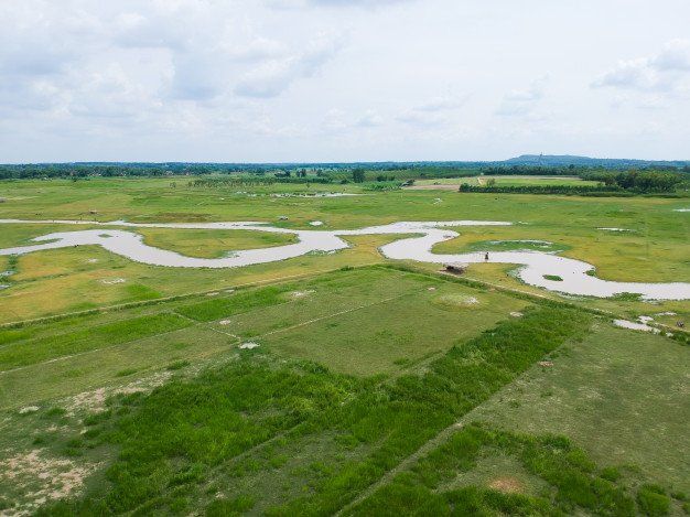
Before and After
With GPS feature, our drones can be set to specific coordinates, so all photos and videos can be taken from the exact same position, every time we visit the site, taking great timelapse videos ou before and after shots.